China spy balloon: a weather balloon (of sorts) after all?
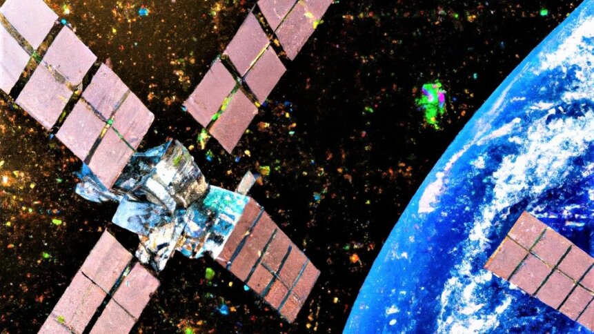
Clearer view from space? Weather balloons could help to improve the quality of satellite data. Image credit: Shutterstock Generate.
It’s no surprise to find China-US relations making the headlines. The two superpowers have a habit of ratcheting up trade restrictions as one country seeks to limit the ability of the other to gain the technological upper hand. China is keen to expand its semiconductor manufacturing capabilities to become independent from today’s big players. But the US is less enthusiastic about the idea. Recently, however, talk has switched from electronic chips to weather balloons, as an alleged China spy balloon seen floating over the US took center stage. China claims that the uncrewed craft is simply a weather balloon that the wind has blown off course. Could the alleged China spy balloon simply be a weather balloon? Possibly. And if so, should the US still be worried? Maybe, given the fact that weather balloons can be very useful for calibrating satellite imagery.

Weather balloons, released from ground stations, float up through the atmosphere collecting a range of sensor data such as temperature, pressure, humidity, and aerosol content. The information, as the name of the balloon implies, is useful in preparing weather forecasts more accurately compared with using ground measurements alone. In the US, the National Weather Service releases over 90 weather balloons every day from locations across the country. Weather balloons can climb more than 100,000 feet (more than double the cruising altitude of commercial aircraft). And their floating instrumentation has long been part of a meteorologist’s toolkit. But there’s more to weather balloons than just helping to predict the weather.
Being able to map the various atmospheric layers between the ground and high up into the sky paves the way for calibrating satellite image data. Raw image data gathered by satellites orbiting the earth will represent electromagnetic radiation interacting with features on the ground, which may be the portion of the received information that operators are interested in. But at the same time, indirect sources will also contribute to ‘at sensor’ radiance. Different chemical species present in the atmosphere have absorption bands at different wavelengths and will further modify image data. And signal extinction and scattering due to particulates such as clouds and aerosols also needs to be considered.
Food for thought
So-called radiative transfer equations allow experts to model the interaction of radiation as it passes through the atmosphere. And, crucially, these mathematical expressions can be used to correct for atmospheric effects present in satellite data to generate superior images. Uncorrected, raw satellite image data can appear hazy, with reduced contrast between features, which is why algorithms capable of compensating for radiative transfer behaviour are highly sort after.
Radiative transfer models have evolved over the years to cover wavelengths from thermal infrared, through visible, and into the ultraviolet. And having actual atmospheric data – for example, gathered using a regular weather balloon – makes it possible to calibrate the necessary parameters. The better that algorithms become at predicting how radiation will be affected as it passes from a light source to a satellite’s detector payload, the more useful data that can be extracted from the image. And when we talk about satellite images, we’re no longer referring to just colour photographs composed of red, green, and blue spectral groups. Modern satellite instruments are sensitive to hundreds of different wavelength bands, adjacent on the electromagnetic spectrum.
Hyperspectral satellite imagers can detect physical and chemical properties of the earth’s surface that humans may not be able to perceive with their own eyes. Monitoring wavelengths outside of the visible spectrum can distinguish between different types of vegetation. Spectral signatures can help to identify different materials that may otherwise look very similar from high above. Hyperspectral satellite imagery is being used in agriculture and conservation to map food production and changes in habitat.
For example, satellites can monitor crop progress – determining rates of growth and assessing whether plants have been partially damaged by wind or flattened by heavy rains. Atmospheric knowledge, including calibration details, plays a key role in maximizing the value of satellite data. And just because a weather balloon isn’t found to be carrying a camera, doesn’t mean that it’s not playing a role in the imaging process.
Returning to the puzzle of the alleged China spy balloon, perhaps the best strategy is to invoke Occam’s razor. In other words, the simplest explanation is most likely to be the correct one. So, until facts suggest otherwise, the alleged China spy balloon could be just a weather balloon. Remnants found elsewhere – for example, off the coast of Taiwan – have been determined to be part of a meteorological instrument. But, as we’ve dug into, even a weather balloon can help sharpen the view of activities on the ground, and that may turn out to be more problematic for US-China relations.
5 March 2024